 Grand Prix of French Southern Lands
French Southern Lands Racing GameRace a 4.0 km circuit drawn from the French Southern Lands' outline
- Length
- 4.0km
- Turns
- 13
- Main straight
- 660m
- Slowest corner
- 77km/h
- Climb
- 47m
- Setting
- Glacier
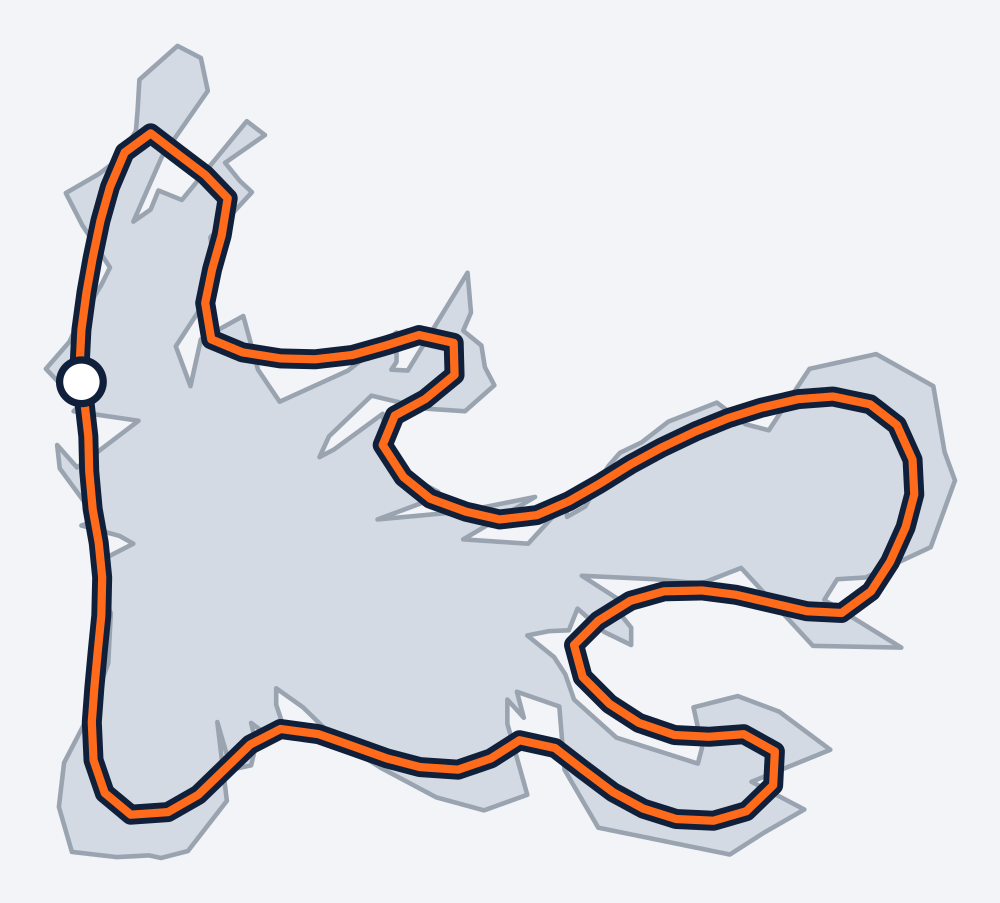
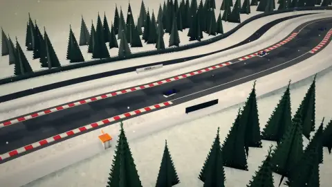
Snow is falling on the French Southern Lands racing game, and the welcome banner names the place: the Kerguelen, out in the southern Indian Ocean. It's a track drawn from the French Southern Lands coastline, 13 corners named after the bays, peaks and headlands it traces. It starts at Anse des Timoniers, climbs by Mont du Lignite and Mont Rabot, then works round Baie des Astronomes, Baie Norvégienne, Baie Greenland and Baie de la Table to Arête Jérémine.
The Grand Prix of French Southern Lands is a glacier race with 48 metres of climb.
The French Southern Lands circuit map
- T1Anse des Timoniers
- T2Mont du Lignite
- T3Pointe Lucky
- T4Mont Rabot
- T5Baie des Astronomes
- T6Archipel des Kerguelen
- T7Baie Norvégienne
- T8Presqu'île Amiral Douglas
- T9Baie Greenland
- T10Baie des Swains
- T11Mont Aubert de la Rue
- T12Baie de la Table
- T13Arête Jérémine
Each corner is named after the place on the French Southern Lands' outline it traces.
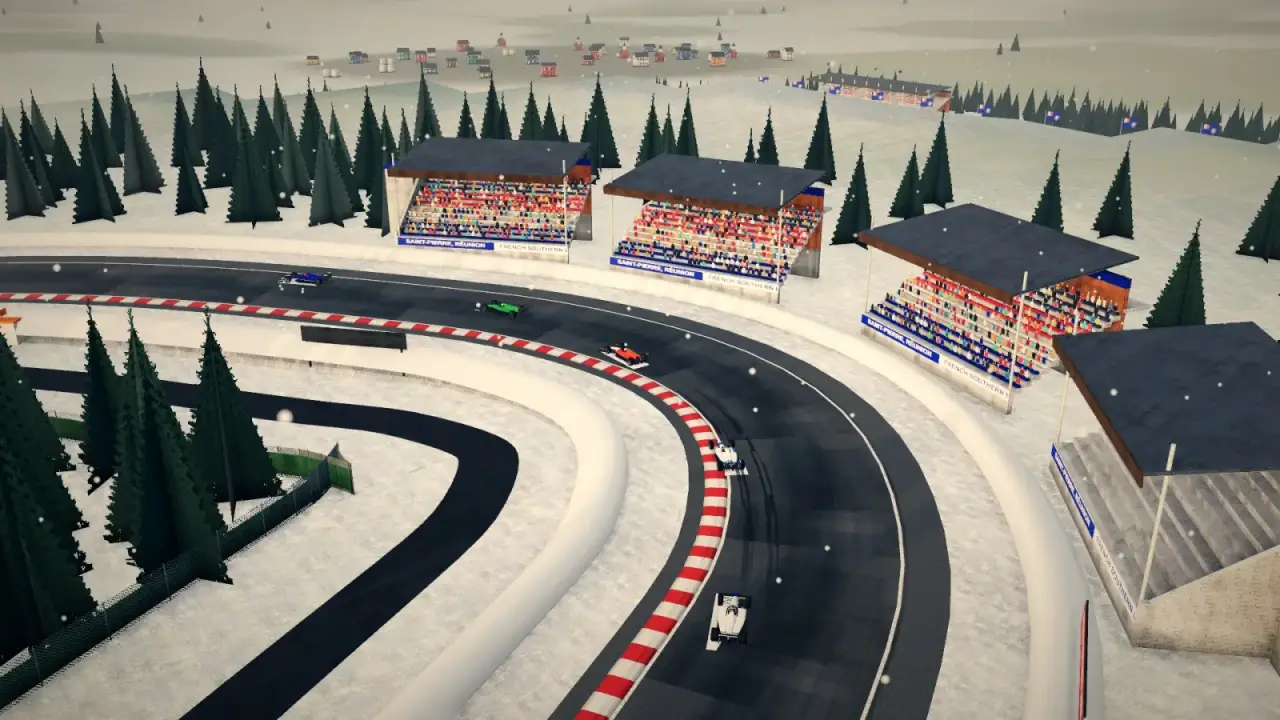
Screenshots from the French Southern Lands circuit
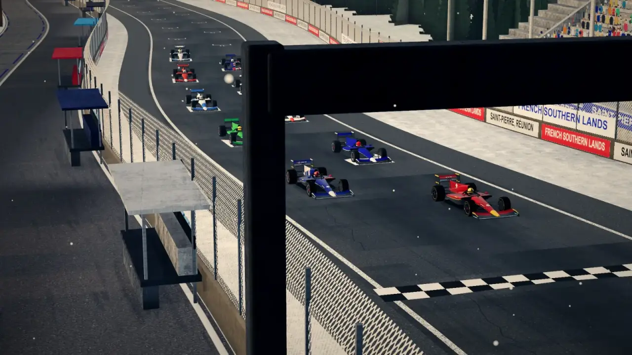
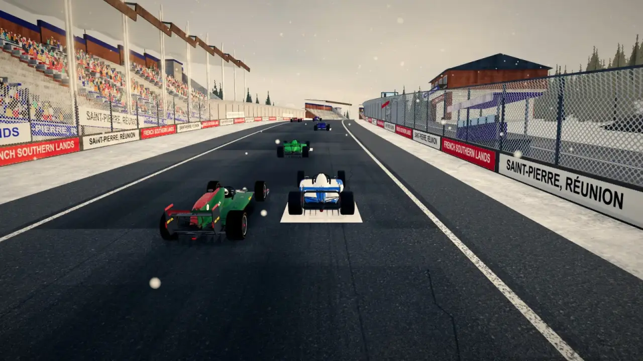
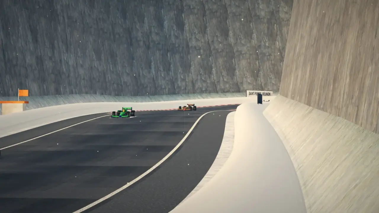
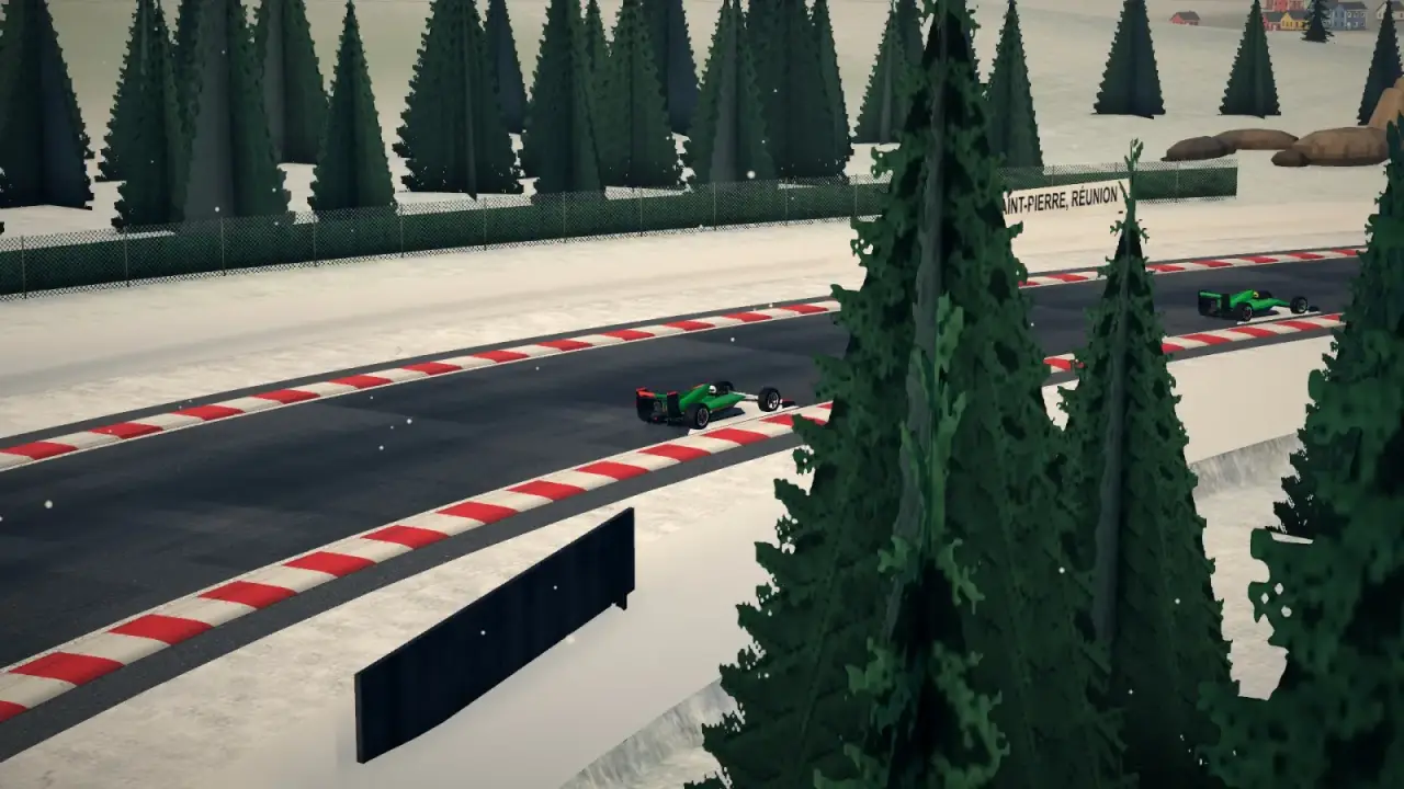

Around the French Southern Lands track
The Port-aux-Français research station is the only real landmark out here, with hardy cabins built for the cold standing beside it. Elephant seals lie on the shore and penguins stand nearby. Tundra and glacier stretch away on every side, snow falls all the way round, and snowmobiles and pickups are parked by the fences. The banner says Bienvenue aux Kerguelen.
- Port-aux-Français research station
- Elephant seals
- Penguins
How to drive the French Southern Lands circuit
Anse des Timoniers is turn 1 and the slowest corner, at 77 km/h, after a 660-metre straight. That makes it the heaviest stop on the lap and the best place to pass. Then the road climbs past Mont du Lignite and Mont Rabot, with 48 metres of rise in falling snow.
Ways to race French Southern Lands
What country is this? Guess the French Southern Lands from one lap
One lap behind the leader, with the racing line drawing itself as it goes. By the flag it's the French Southern Lands' outline. Could you name it before the reveal?
With sound: the video has a voiceover.
French Southern Lands lap record
The French Southern Lands leaderboard loads here. Set a lap in Time Trial to get on it.
French Southern Lands racing game: questions
Is the French Southern Lands track on the Kerguelen Islands?
Yes. Its corners trace the Kerguelen coast, from Anse des Timoniers round the bays to Arête Jérémine.
Does it snow on the French Southern Lands circuit?
Yes. Snow falls throughout the lap, over glaciers, tundra and the Port-aux-Français research station.
How long is the French Southern Lands circuit?
4.0 km, with 13 turns and 47 metres of climb. The main straight is 660 metres long, and the slowest corner, Anse des Timoniers, is taken at 77 km/h.
Can I race French Southern Lands on my phone?
Yes. Globe Prix plays on phones and tablets with touch or tilt steering, and on desktop with a keyboard or a gamepad.
 Heard Island
 Mauritius
 Madagascar
 Antarctica